
Wildfire Information & Resources
Fuel Moisture
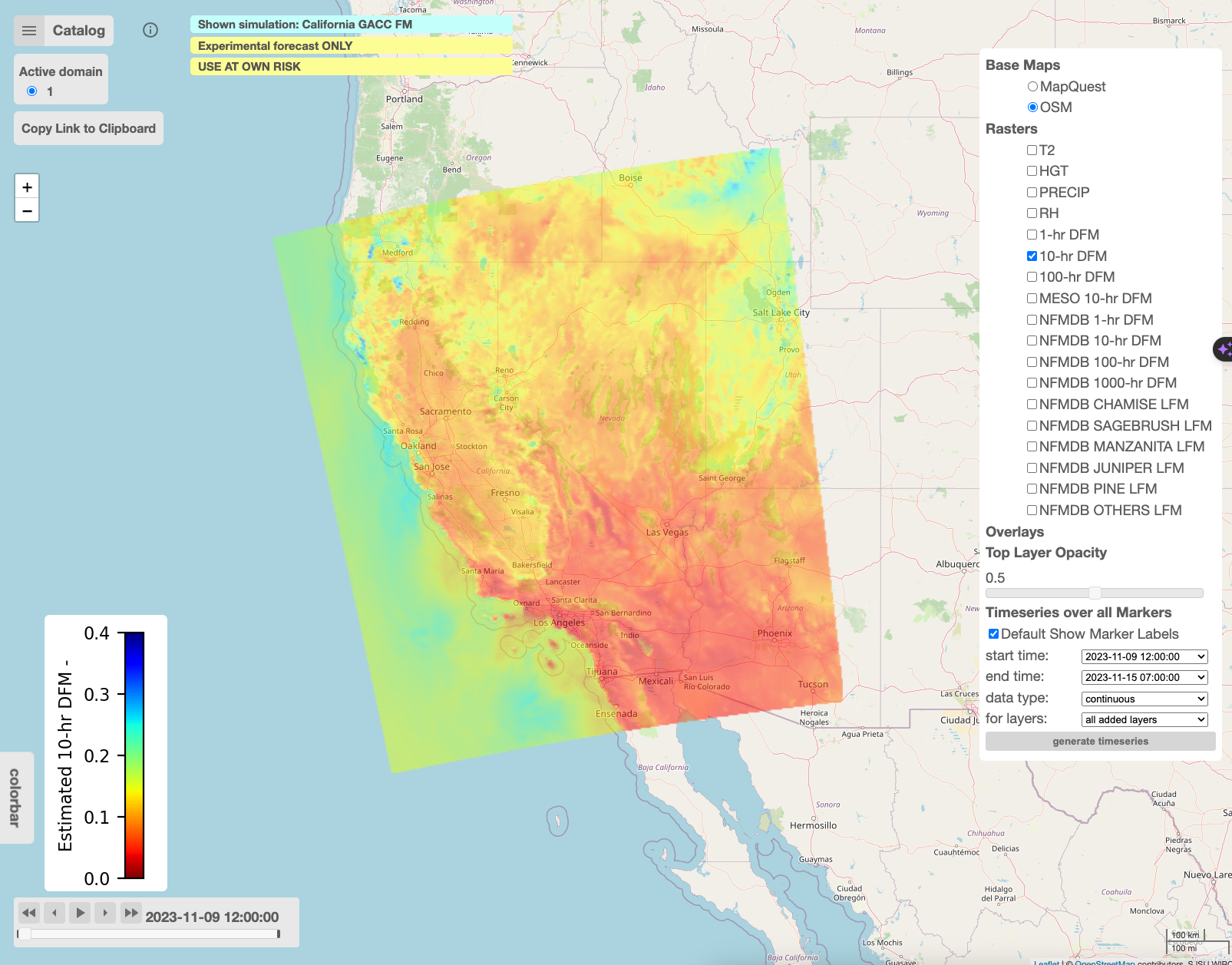
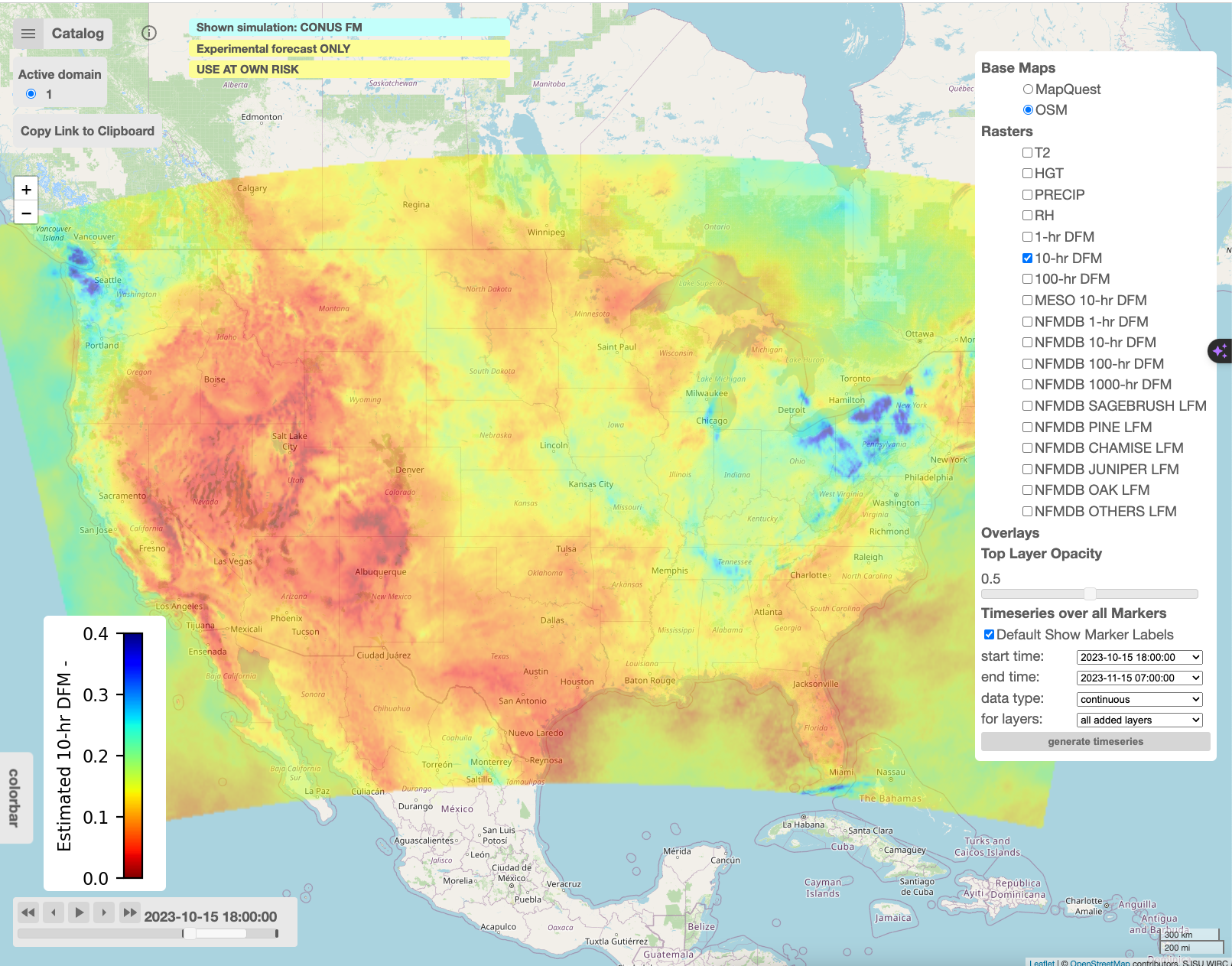
WRFx Realtime Products provide up-to-date fuel and weather for practitioners. These products offer real-time fuel moisture estimates for dead and live fuels based on state of the art data assimilation methods leveraging observations from automated weather stations. The WRFx provide access access to both observational data (point observations) as well as the analysis products (spatial maps) of dead fuel moisture in four basic classes: 1hr, 10hr, 100hr and 1000hr. Aside from the dead fuel moisture the system also provides access to live fuel moisture observations, helping practitioners make informed decisions and effectively plan for wildfire events, WRFx products deliver timely and essential fuel insights to optimize operations and mitigate wildfire risks.
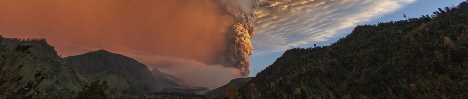
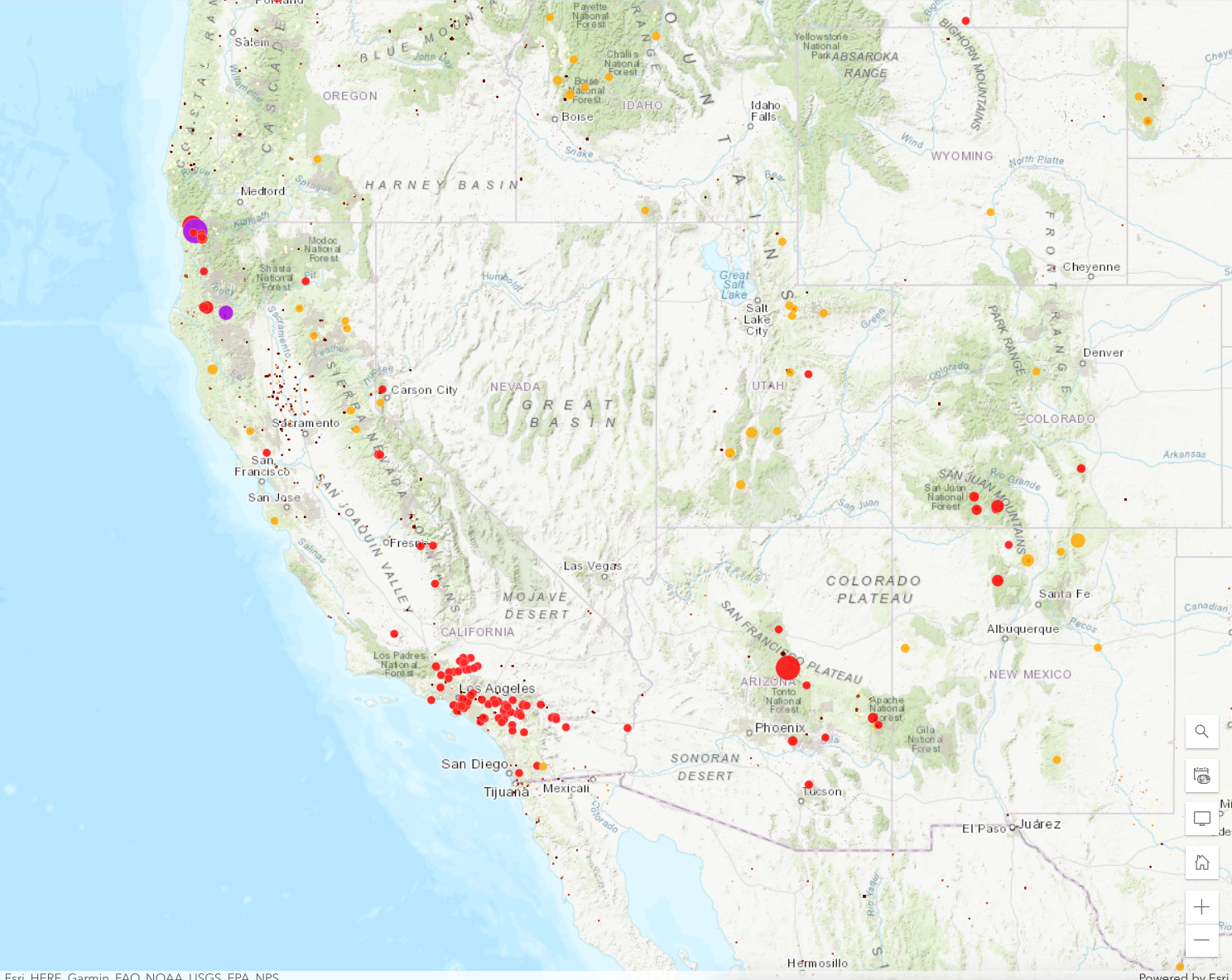
Fire Detections
WIRC collects near real-time satellite detections from VIIRS, MODIS, and GEOS16/17, as well as airborne fire perimeters. The fire observations are processed in real-time and leveraged in the fire forecasting system WRFx to make fire spread predictions. Additionally, the WIRC GIS system has been created to disseminate satellite and fire perimeters. It provides quick and easy access to critical fire observations such as airborne infrared perimeters and satellite fire detections.
Fire Forecasts
The fuel moisture estimates and satellite data from the WRFx system are used to inform operational fire and smoke forecasts executed using the WRF-SFIRE model. The coupled fire atmosphere simulations provide high-resolution forecasts of weather conditions, fire behavior as well as plume rise and smoke dispersion. The WRFx numerical forecast provide critical information about expected ifre behavior and air quality impacts of wildfires
The core component is WRF-SFIRE which is a coupled fire-atmosphere model based on WRF (Weather Research Forecasting System) and SFIRE fire spread model.
During the fire season, the WRFx system is running 48h forecasts twice a day at 03z (8 am PDT) and 15z (8 pm PDT). The nominal start times of the simulations are 00z and 12z, and each forecast starts from a 2-hour spin-up. The runs are processed on the fly and uploaded to the WRFx web portal. The fire state is initialized using the last IR fire perimeters and the most recent satellite fire detections using data from the WIRC GIS portal.

WIRC Weather Forecast Visualizations and Products
WIRC operates state of the art weather data processing and visualization system providing critical fire weather information. The system processes high-resolution weather forecast data to create weather maps, point forecasts and atmospheric soundings. Additionally, it also presents vertical cross-section and pressure gradients through critical wind corridors in California as well as lightning data.

Fire Danger & Risk
-

National Fire Danger Rating System (NFDRS)
-

-

-

Severe Fire Wx Potential Mapping System (USFS-WFAS)
-

Storm Prediction Center (SPC) Fire Weather Outlooks
-
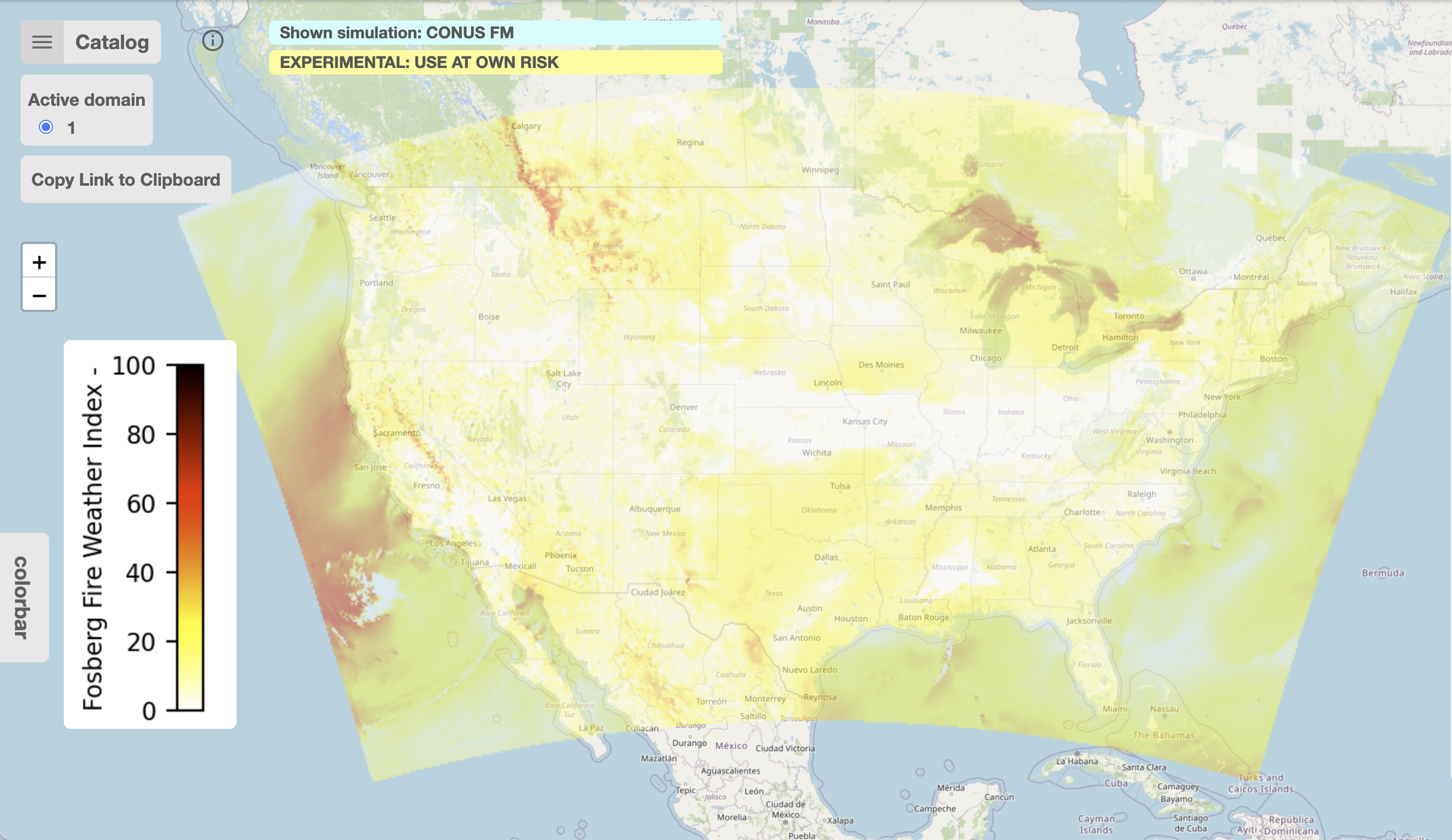
WIRC Fosberg Fire Weather Index (FFWI)
Other Fire & Weather Data Sources
-

National Weather Service Homepage
-

MesoWest (University of Utah)
-

MODIS Satellite Imagery
-

-

U.S. Drought Monitor
-

National Interagency Fire Center Statistics